Office of a Licensed Surveyor · Bilje
We measure space.
To the centimetre.
Building legalisation and registration, new construction, subdivision, setting-out and drone surveying — for Bilje, Osijek and all of Slavonia and Baranja.
From a 2D plan — to a 3D terrain model.
Measured points become relief, footprints become buildings.
Millions of points. One truth about the terrain.
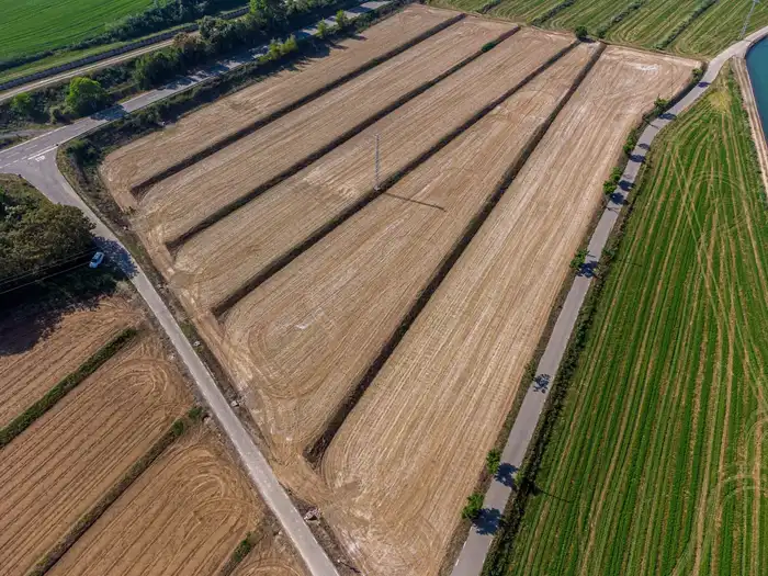
Aerial capture records every irregularity.
Satellites confirm every centimetre.
GNSS RTK positioning ties the site to the national coordinate system.
About the office
Every boundary, every building and every centimetre — measured on site, drawn into the survey report and implemented in the cadastre. The office of licensed surveyor and permanent court expert Kristijan Koch combines the experience of a local surveyor with technology that sees the terrain from the air.
- Licensed surveyor
- 1171
- registration no. with the Croatian Chamber
- Registered office
- 723
- office registration number
- Court expert
- Permanent
- permanent court expert witness in geodesy
- Service area
- OBC
- Bilje, Osijek, Baranja and wider Slavonia
Legalisation has reopened.
Amendments to the Act on Procedures with Illegally Constructed Buildings make legalisation possible again — under the same conditions as before. If you missed the earlier deadline, now is the chance to sort out your property.
- 01
Same conditions as before
Buildings visible on the DGU digital orthophoto map based on imaging started on 21 June 2011 can be legalised.
- 02
As-built survey
We survey the building on site, prepare the surveying part of the application and complete the documents with trusted partners.
- 03
Why it pays off
A legal building can be mortgaged, connected to utilities and entered into subsidy and funding programmes.
Services
From boundary to model — all in one place.
Our services cover four areas — and, as of this year, professional drone surveying. We guide every procedure from the first consultation to implementation in the cadastre and land register.
Existing buildings
Legalisation and registration of buildings in the cadastre and land register.
New construction
Design survey, setting-out and as-built survey — from plans to registration.
Land services
Subdivision, merging of parcels and boundary staking.
Other services
Court expert services, utility staking and registration, design base maps, consulting.
Drone surveying
Orthophotos, 3D terrain models, point clouds and volume calculations — legally, fully licensed.
How we work
Five steps.
No guesswork.
- 01
Consultation
We discuss your property, goal and documents. You get a clear plan, deadline and quote.
- 02
Cadastre & land register data
We collect cadastral and land-register data and existing survey reports.
- 03
Field survey
GNSS RTK, total station or drone — method and accuracy matched to the task.
- 04
Survey report
We process the measurements and prepare the report in line with DGU regulations.
- 05
Implementation
The cadastre reviews the report and changes are implemented in the cadastre and land register.
A view from the air. Precision from the ground.
The office has expanded into terrain surveying with the professional DJI Matrice 4E mapping drone. We capture large areas, inaccessible terrain and construction sites faster — with RTK accuracy and results ready for the cadastre, design and quantity take-off.
The office holds all licences and permits required to operate the drone legally. Many providers do not — and the responsibility of a drone operator is considerable.
Plan and reality
What’s on paper must also be on the ground.
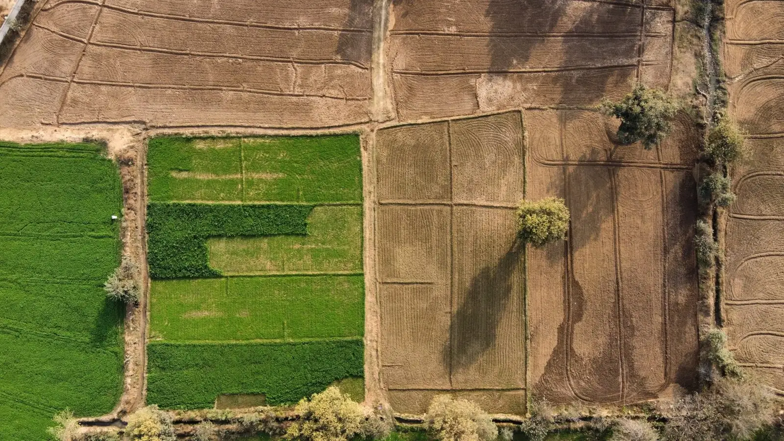
Drag the slider. On the left a vector plan, on the right an orthophoto — our job is to make the two worlds match to the centimetre.
Projects
Jagodnjak Municipality 2024
An interactive GIS viewer of the agricultural land disposal programme — showing the planned lease, sale, restitution or special purpose for every parcel.
Partners
We work with designers and experts in surveying, construction and architecture.
- GEO SM d.o.o.
- GEO ING. d.o.o.
- GEOMETAR OSIJEK d.o.o.
- ING-VICTUS d.o.o.
- A-Z Arhitektura j.d.o.o.
- GEO-PRIZMA d.o.o.
- 2nuts j.d.o.o.
- Intelligentia d.o.o.
Insights
From the surveyor’s notebook
How to check a property in Croatia before buying: cadastre, land register and Geoportal
A practical guide to Croatian public registers: where to check a parcel, ownership and encumbrances online, and how to spot mismatches with the situation on site.
Read articleBuilding a house? Three surveying steps you can’t get a permit or registration without
Site plan for design, building setting-out and as-built survey — what they are, when you need them and how to save time and money on a new build in Croatia.
Read articleWhy your drone surveyor must be licensed — and how to check
Anyone can buy a drone, but commercial capture requires registration, a trained pilot and compliance with the rules. What do you risk by hiring an unlicensed operator?
Read articleUseful links
Official registers and institutions
- 01State Geodetic AdministrationOfficial DGU websitedgu.gov.hr
- 02DGU GeoportalDigital orthophoto maps and spatial datageoportal.dgu.hr
- 03Uređena zemlja – OSSCadastre and land register in one placeoss.uredjenazemlja.hr
- 04Croatian Chamber of Chartered Geodetic EngineersRegister of licensed surveyorshkoig.hr
- 05Ministry of Physical Planning, Construction and State AssetsBuilding and planning regulationsmpgi.gov.hr
- 06Croatian Civil Aviation AgencyRules for unmanned aircraftccaa.hr